Unleash the Potential of Drone Swarms
Welcome to the forefront of innovation in aerial mapping! At AeroSwarm, we are in the process of pioneering the future of 3D mapping. Led by two passionate software engineers, we are currently developing a revolutionary product that will transform the way we perceive and interact with our world.
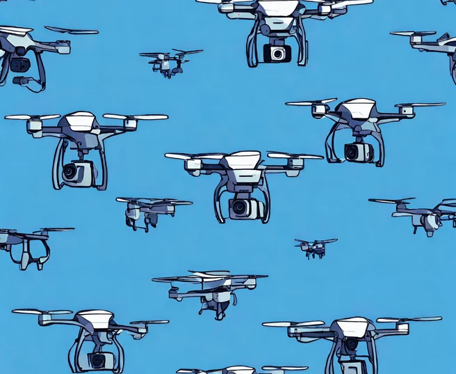
Our flagship product will be a one-of-a-kind, 1-n controlled drone swarm system designed to revolutionize aerial mapping. Imagine a fleet of drones working seamlessly together, capturing high-resolution images of the Earth's surface in real-time. What sets us apart is our ability to fuse these individual images into a comprehensive 3D map with unparalleled accuracy and detail.
Aerial Mapping with Next-Gen Drone Technology
Real-Time Mapping
With our system, the creation of 3D maps will be possible in real-time, enabling rapid decision-making and analysis.
Precision and Accuracy
Our claim is high quality: We want to create a system which creates maps of exceptional accuracy, even in challenging environments.
Scalability
Whether you need to map a small parcel of land or an expansive area, our drone swarm system will be scalable to meet your needs. From urban planning to disaster response, the possibilities will be endless.
Ease of Use
We understand the importance of user-friendly technology. Our intuitive interface will allow users to control and monitor the drone swarm effortlessly, empowering you to focus on your objectives.
Why Choose Us
Commitment to Excellence: Quality is at the heart of everything we do. From hardware design to software development, we are committed to delivering best-in-class solutions that exceed your expectations.
The Team
Meet our talented team of two, dedicated to creating unique and innovative solutions in software.

Raffael Reutebuch
Raffael Reutebuch holds a Bachelor of Science in Applied Computer Science with extensive experience in drone construction, programming, and network technology, crucial for swarm connectivity. Additionally, his proficiency in system administration ensures project stability.

Carsten Röhricht
Carsten Röhricht, with a Master of Science in Computer Science, contributes invaluable expertise as a former laboratory assistant and lecturer at the Institute for Optical Systems (IOS). His Master's studies in Autonomous Systems are pivotal for our project's advancement.
Get in touch
Are you interested in the future of aerial mapping? We would love to hear from you! Whether you are a potential customer or investor, we invite you to get in touch via our contact form or the email address below.
Contact Us